Pocket Maps
Free offline maps with routing functions
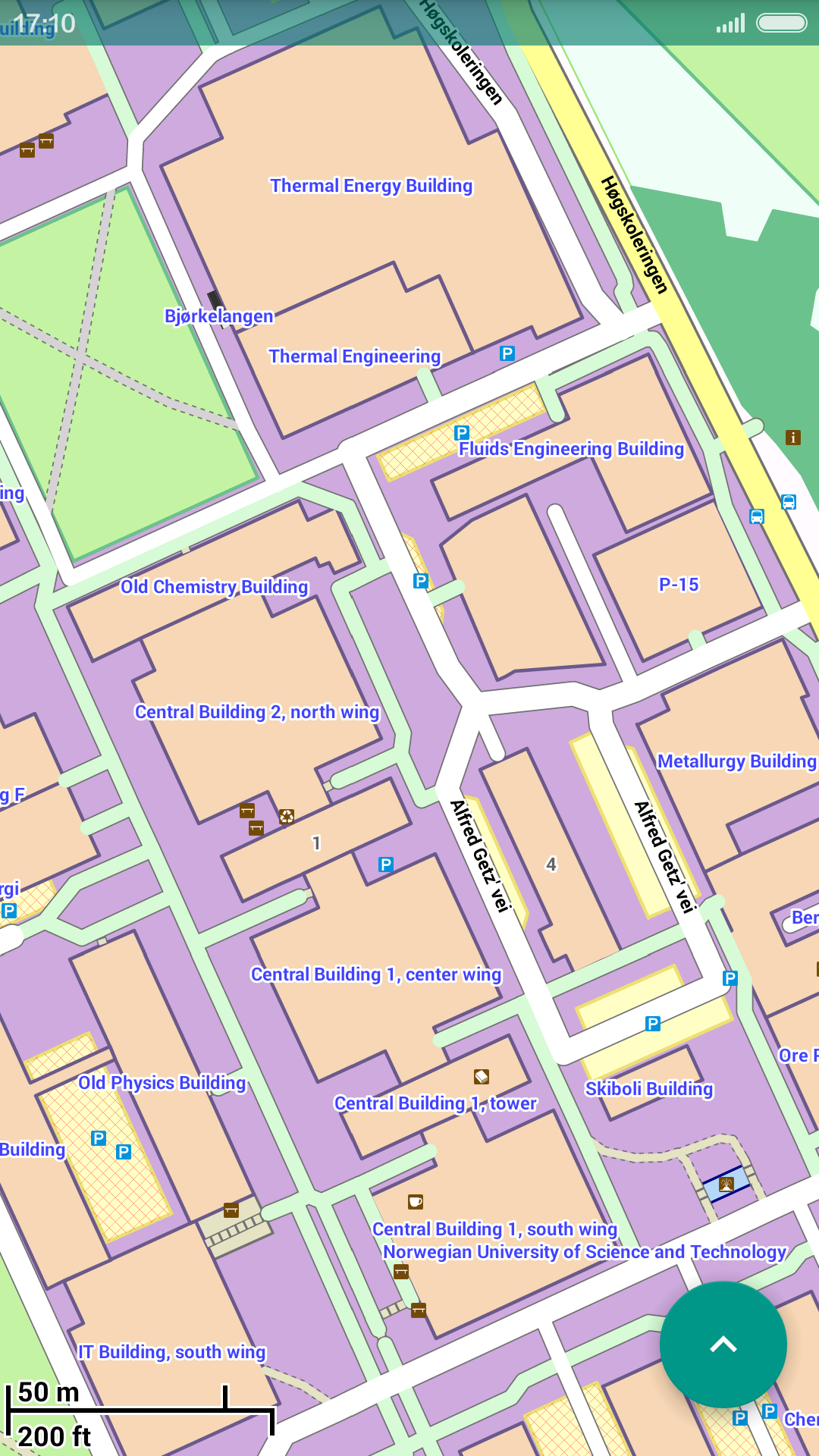
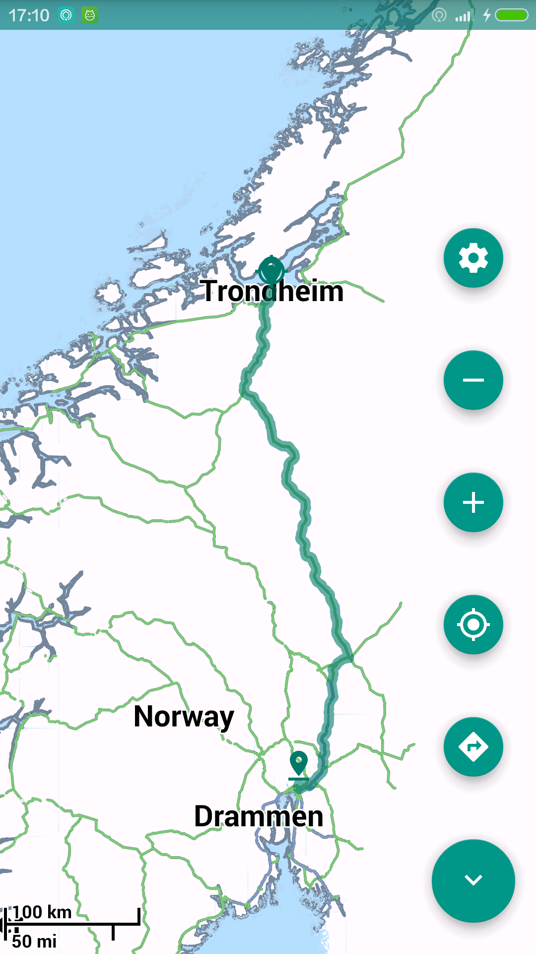
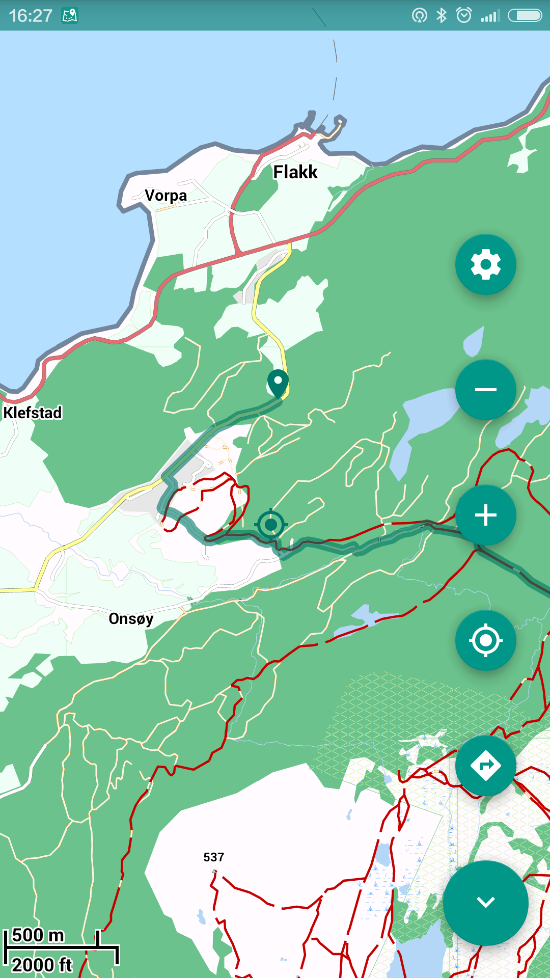
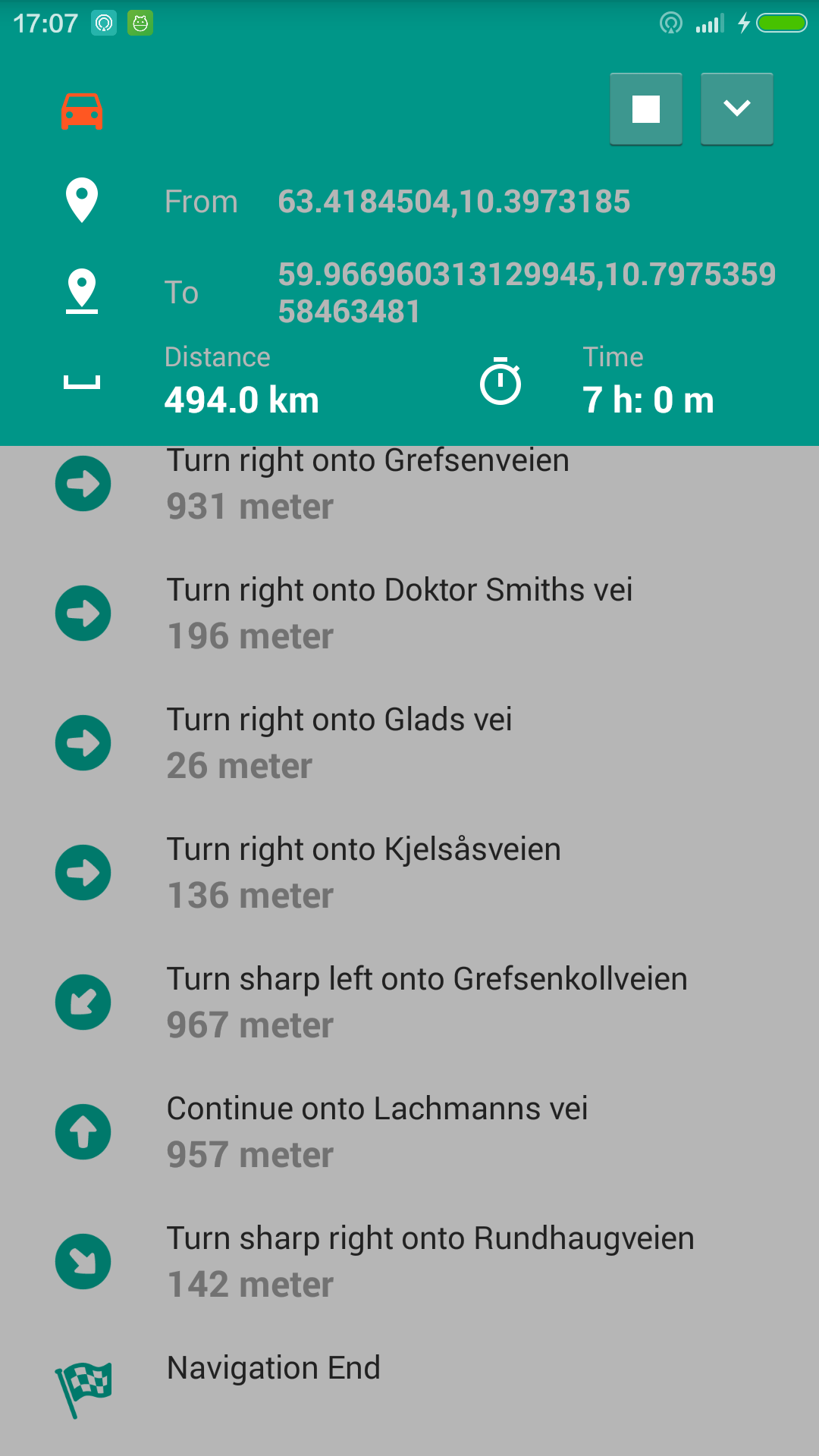
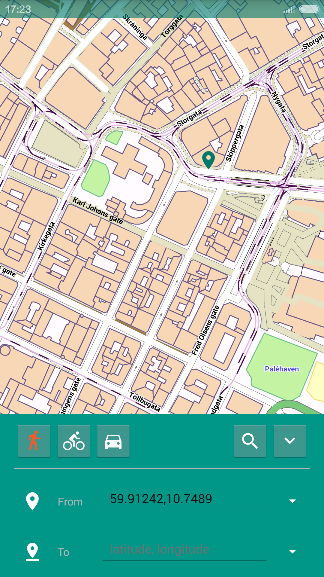
The application uses offline maps to a GPS navigation system to provide turn-by-turn guided instructions on how to arrive at a given destination.
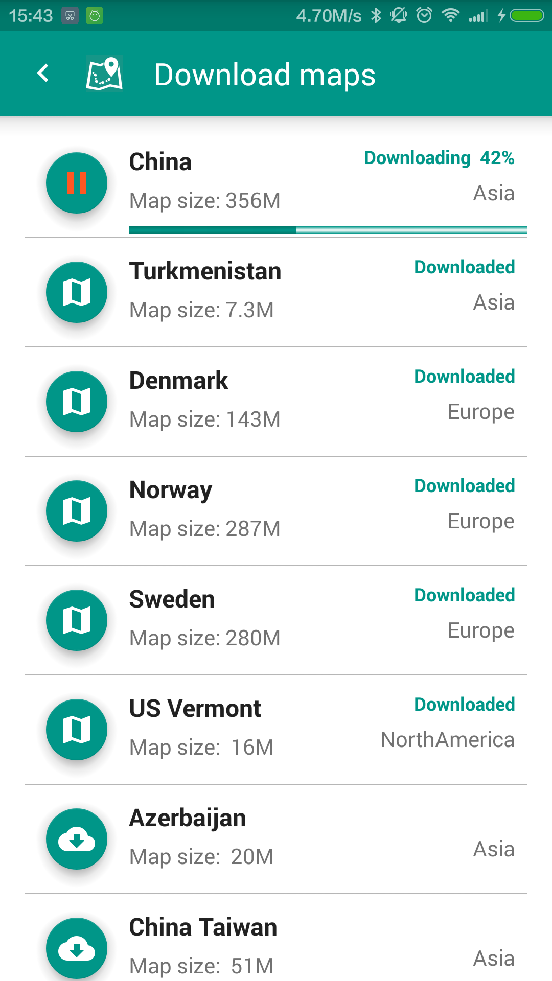
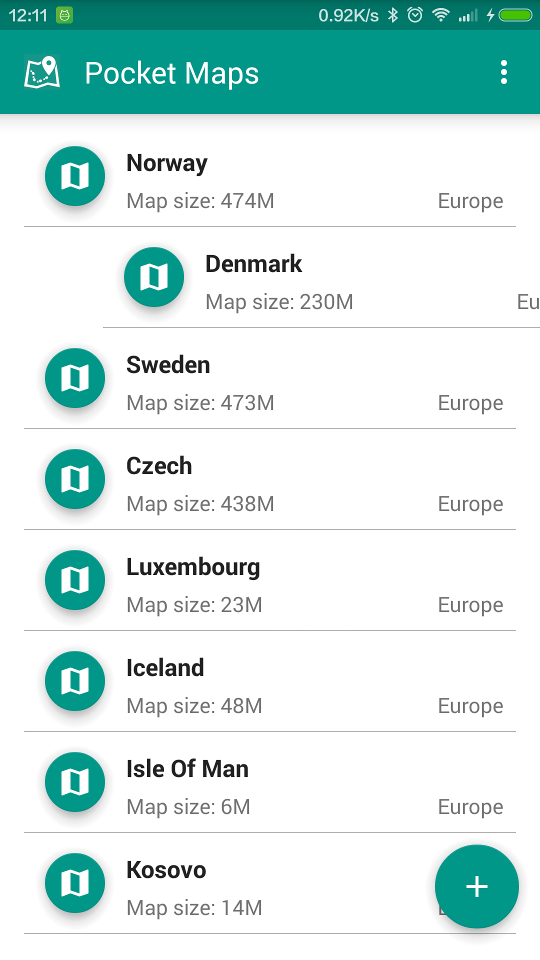
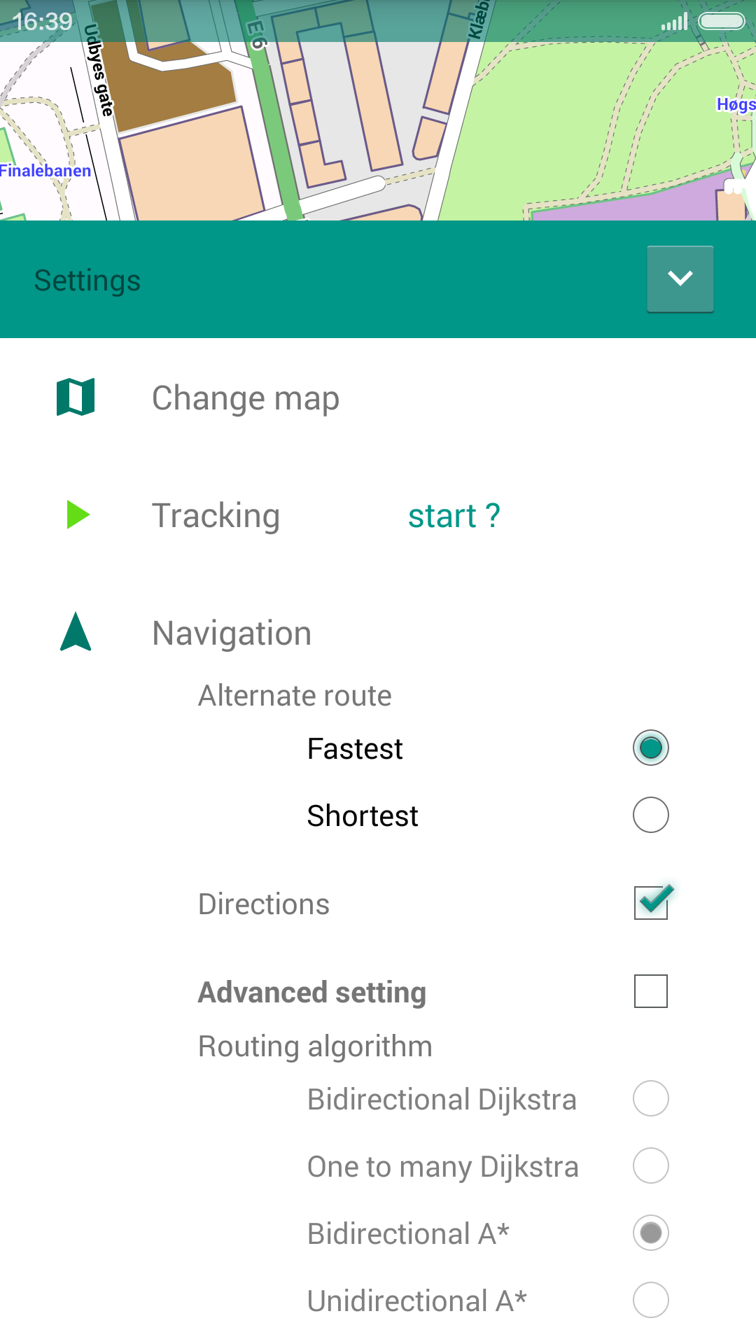
Use OpenStreetMap data, an open-source, free Wiki World Map. Can be downloaded by country or region.
Pocket Maps works completely offline. Once Maps are downloaded no internet connection needed to run the app. No more roaming charges when travelling abroad .
Absolutely free, free application, free maps download, no in-app purchases.
Use OpenStreetMap data, graphhopper & mapsforge open-source api.
Recording GPS tracks, draw a polyline of locations where the device has been on map; can save tracking log as GPX file, which may be used for geotag photos etc.
Dynamic calculate and analyze your moving distance, max speed, average speed and time usage with both real time live textual summaries and line charts.
Measure your sport performance and calories burned dynamically. (see Tracking Analytics)
16 July 2015 - Improved maps view and download view UI
use click button to active function, instead of touch item to active
function, avoid unwanted
active function.
15 August 2015 - fixed UI not showing correctly on Lollipop
18 August 2015 - add tracking function:
- draw a polyline of locations where the device has been on map;
- can save tracking log as GPX file, which may be used for geotag
photos etc.
24 August 2015 - add moving distance and average speed to tracking function.
05 September 2015 - add sport Tracking (analytics): Dynamically analyze moving distance, max speed, average speed, calories burned and time usage with both real time live textual summaries and Zoomable line charts.
08 September 2015 - with this update more maps can be downloaded
Pocket Maps have now include maps of:
Azerbaijan, China, China Taiwan, Gcc States, India, Indonesia, Iran,
Iraq, Israel
And Palestine, Kazakhstan, Kyrgyzstan, Malaysia Singapore Brunei,
Mongolia, Nepal, Pakistan,
Philippines, Thailand, Turkmenistan, Uzbekistan, Vietnam, Australia,
New Caledonia, New
Zealand, Albania,
Andorra, Austria, Azores, Belarus, Belgium, Bulgaria, Croatia, Cyprus,
Czech Republic, Denmark,
Estonia, Faroe Islands, Finland, Germany Baden Wuerttemberg, Germany
Bayern, Germany Berlin,
Germany Brandenburg, Germany Bremen, Germany Hamburg, Germany Hessen,
Germany Mecklenburg
Vorpommern, Germany Niedersachsen, Germany Nordrhein Westfalen,
Germany Rheinland Pfalz, Germany
Saarland, Germany Sachsen, Germany Sachsen Anhalt, Germany Schleswig
Holstein, Germany
Thueringen, Greece, Hungary, Iceland, Isle Of Man, Kosovo, Latvia,
Liechtenstein, Lithuania,
Luxembourg, Macedonia, Malta, Moldova, Monaco, Montenegro,
Netherlands, Norway, Poland,
Portugal, Romania, Serbia, Slovakia, Slovenia, Sweden, Switzerland,
Turkey, UK England, UK
Scotland, UK Wales, Ukraine, Canada Alberta, Canada British Columbia,
Canada Manitoba, Canada
New Brunswick, Canada Newfoundland And Labrador, Canada Northwest
Territories, Canada Nova
Scotia, Canada Nunavut, Canada Ontario, Canada Prince Edward Island,
Canada Quebec, Canada
Saskatchewan, Canada Yukon, US Alabama, US Arizona, US Arkansas, US
California, US Colorado, US
Connecticut, US Delaware, US District Of Columbia, US Florida, US
Georgia, US Hawaii, US Idaho,
US Illinois, US Indiana, US Iowa, US Kansas, US Kentucky, US
Louisiana, US Maine, US Maryland,
US Massachusetts, US Michigan, US Minnesota, US Mississippi, US
Missouri, US Montana, US
Nebraska, US Nevada, US New Hampshire, US New Jersey, US New Mexico,
US New York, US North
Carolina, US North Dakota, US Ohio, US Oklahoma, US Oregon, US
Pennsylvania, US Rhode Island, US
South Carolina, US South Dakota, US Tennessee, US Texas, US Utah, US
Vermont, US Virginia, US
Washington, US West Virginia, US Wisconsin, US Wyoming, Argentina,
Bolivia, Brazil, Chile,
Colombia, Ecuador, Peru, Uruguay,
20 September 2015 - add resumable download, pause/resume function for map download; fixed internet drops off caused error.

If you have any questions, comments, suggestions, or a request for a function, feel free to send
me a message.
You are welcome to share this website on facebook, twitter or google plus.